Crossing the Biokovo Nature Park - Croatia
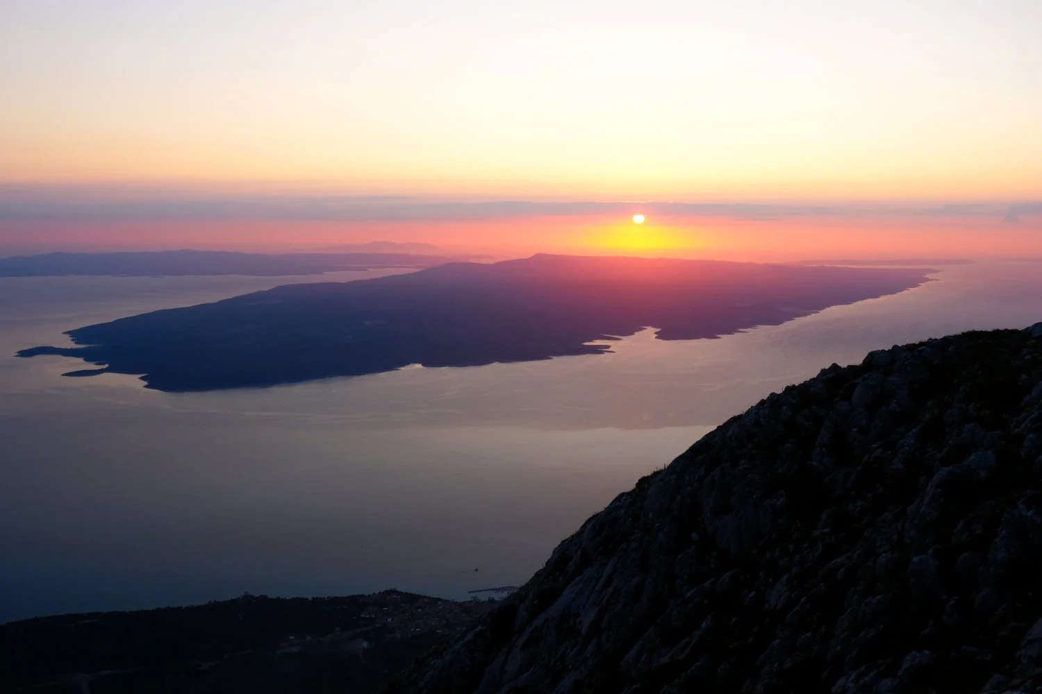
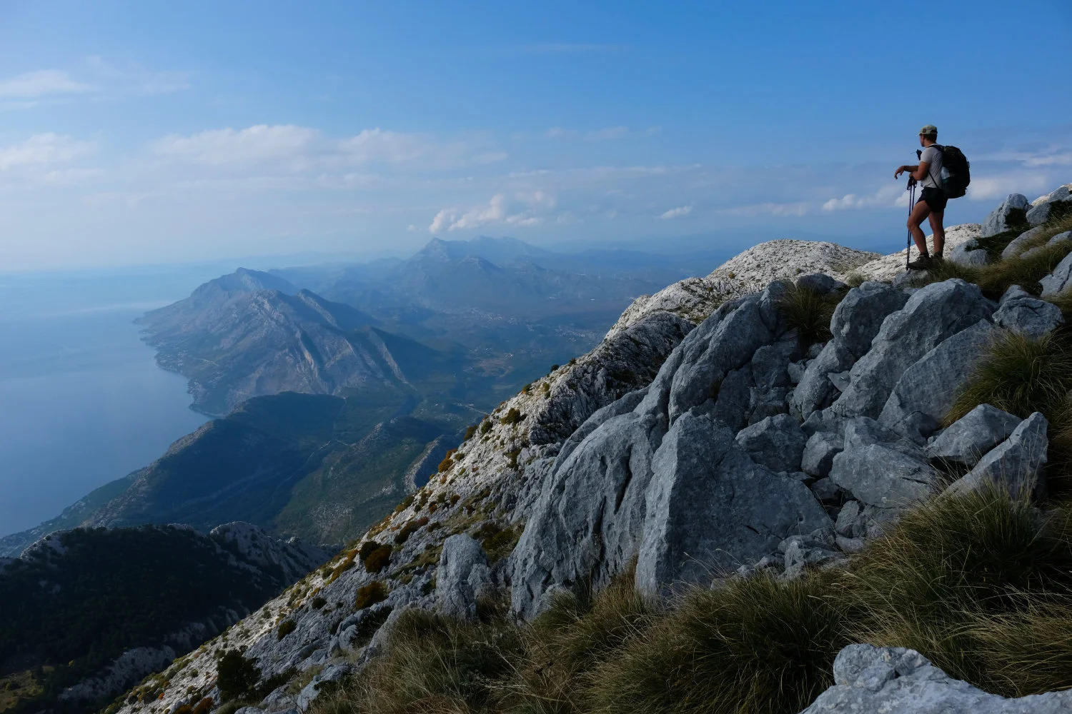
The Biokovo Nature Park in Croatia is one of the best locations in the southern part of the country to experience an extensive hiking adventure. We (2 persons) did it in October 2019 and spent 2 days in the nature park - hiking along the ridge from North to South while enjoying excellent weather and views.
The whole trail we used as a baseline was part of the Via Dinarica, a long distance hiking trail in Croatia that is definitely worth reviewing. Since we arrived in Split, we decided to start directly with part 18 of the Blue Line, the part which leads along the mountain ridge of the Biokovo Nature Park.
Day 1
On the first day, we started quite late, around 11am, in the small town of Gornja Brela. You can easily park your car here, but I recommend doing your shopping beforehand since they only have a very small kiosk where you can get some water & food.
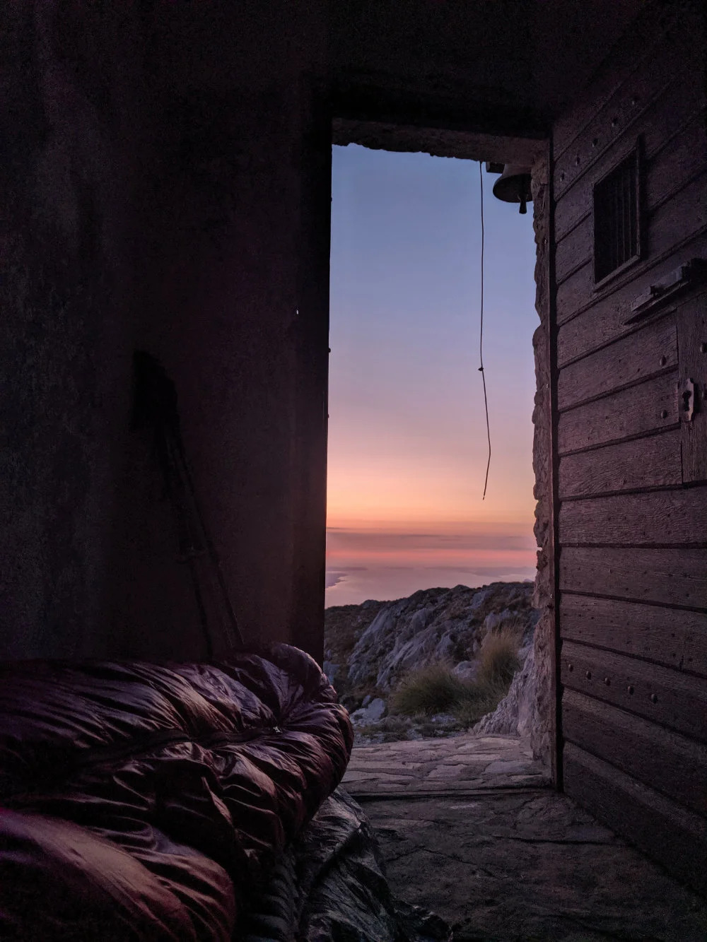
The climb up to the ridge was quite intense and requires a lot of water. Once you are up there, things get better and the views were simply amazing. We slept this night in the church of Ilija on approx. 1600 meters (GPS: 43.37143, 16.99705). It’s perfect for 2 persons (3 would already be a problem).
Day 2
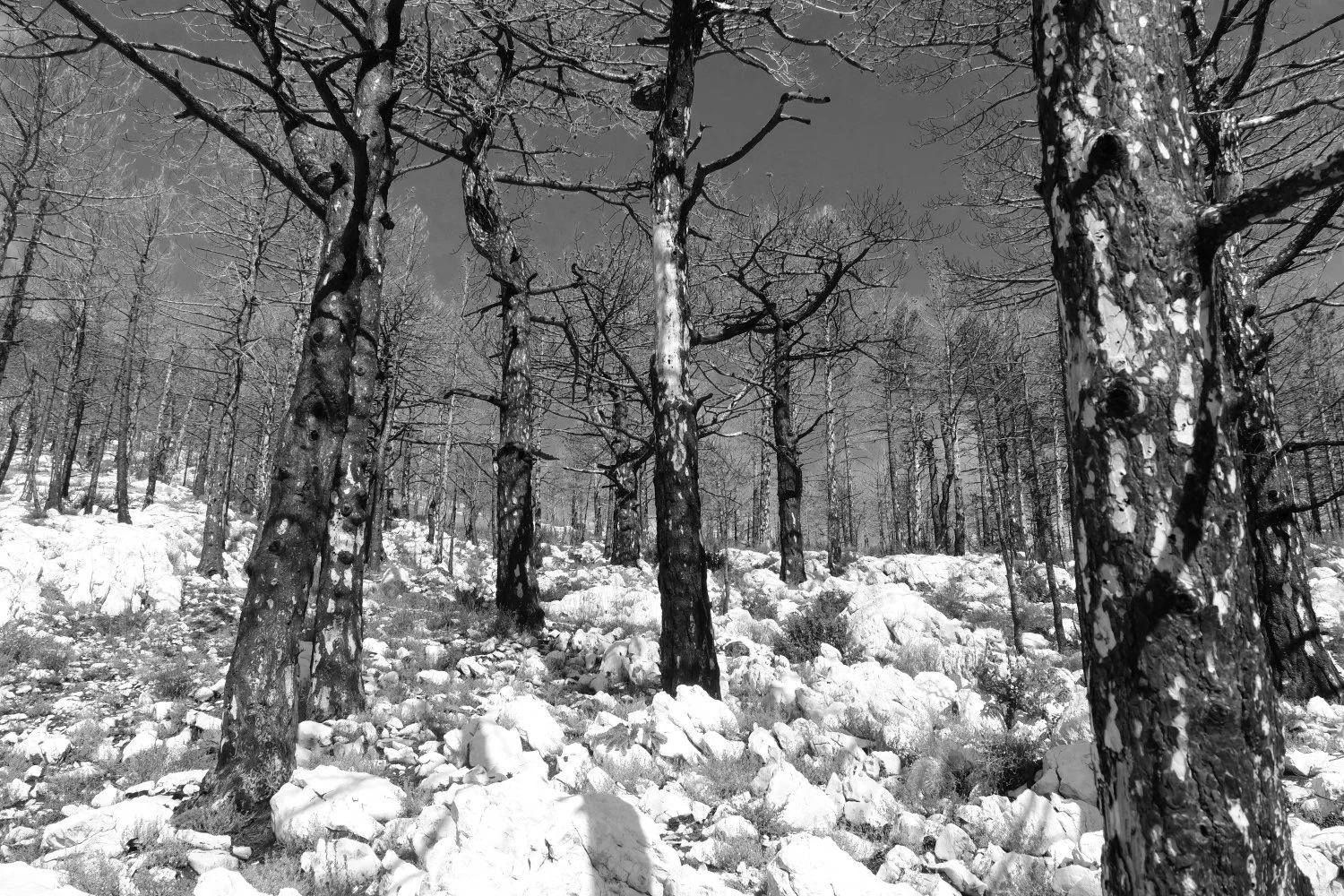
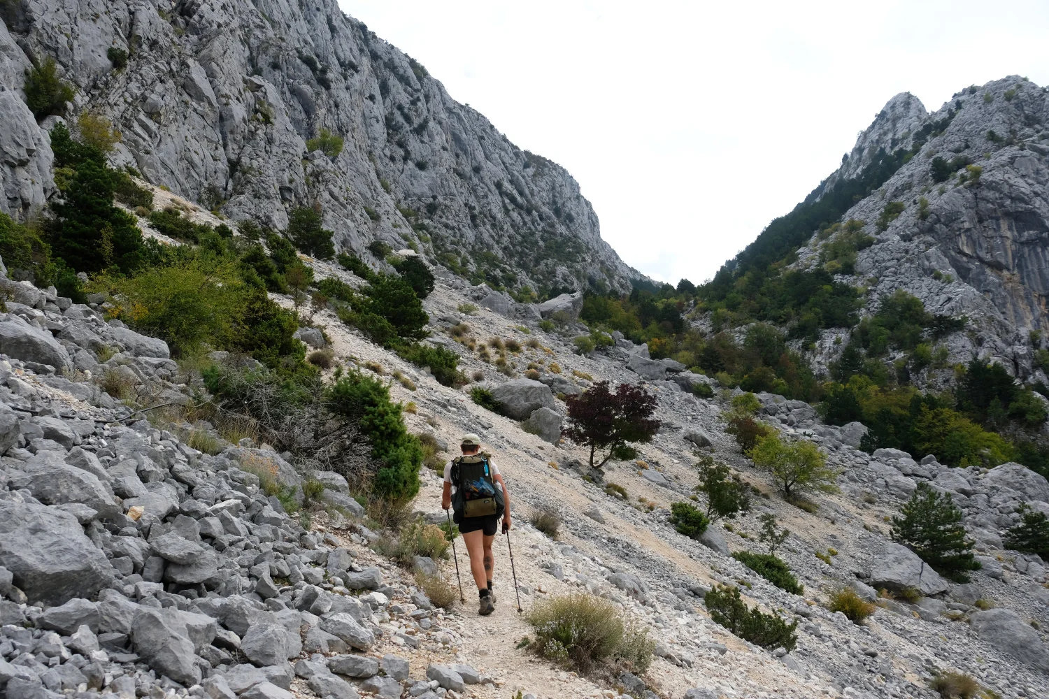
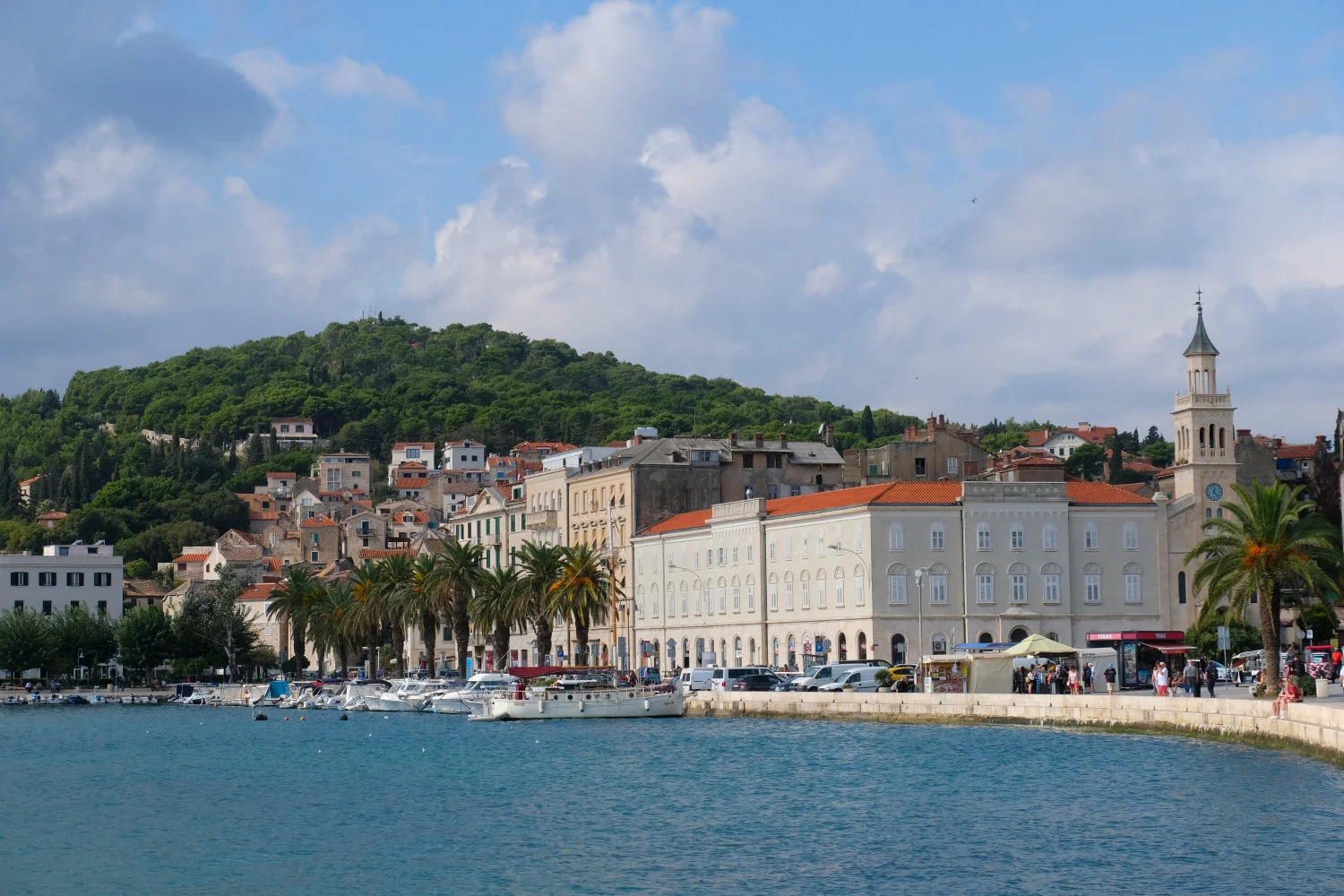
The second day started badly since we lost the track after the first 2 hours of hiking and lost 2 hours through climbing off-trail. After finding the trail again we continued to the Slobodan Ravlić hut and continued further south before we descended down to the town of Makarska where we arrived in the early evening. The first thing we did was jumping into the cold sea!
Trail Information
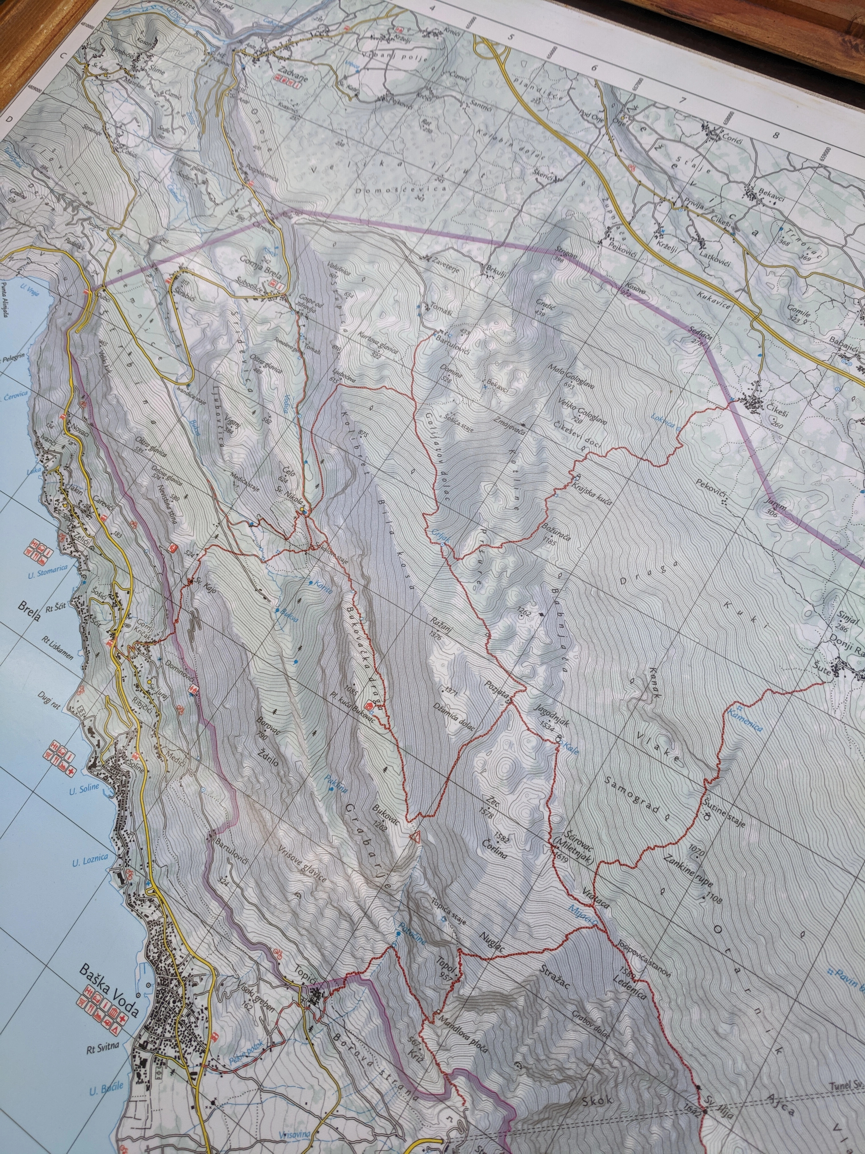
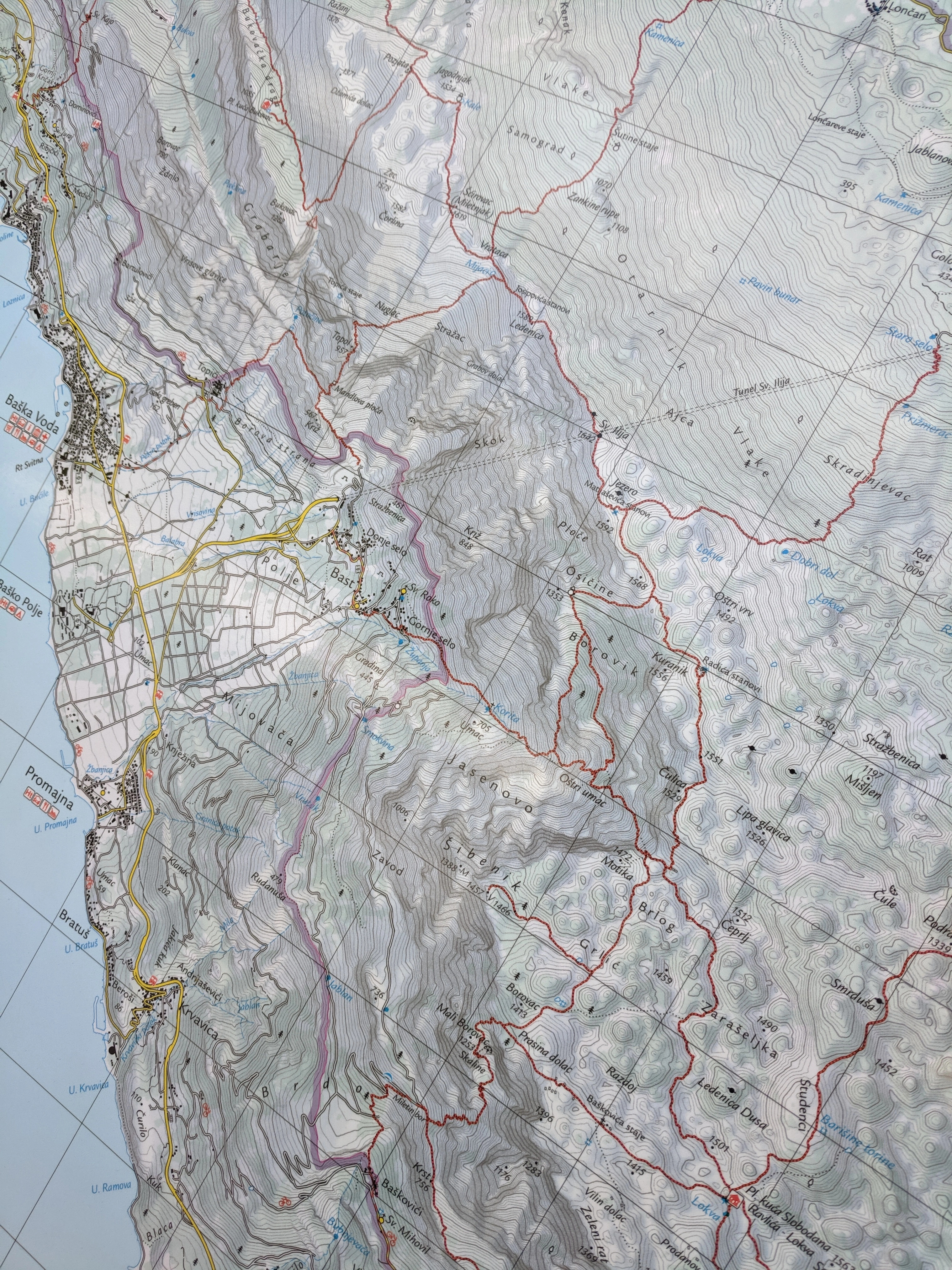
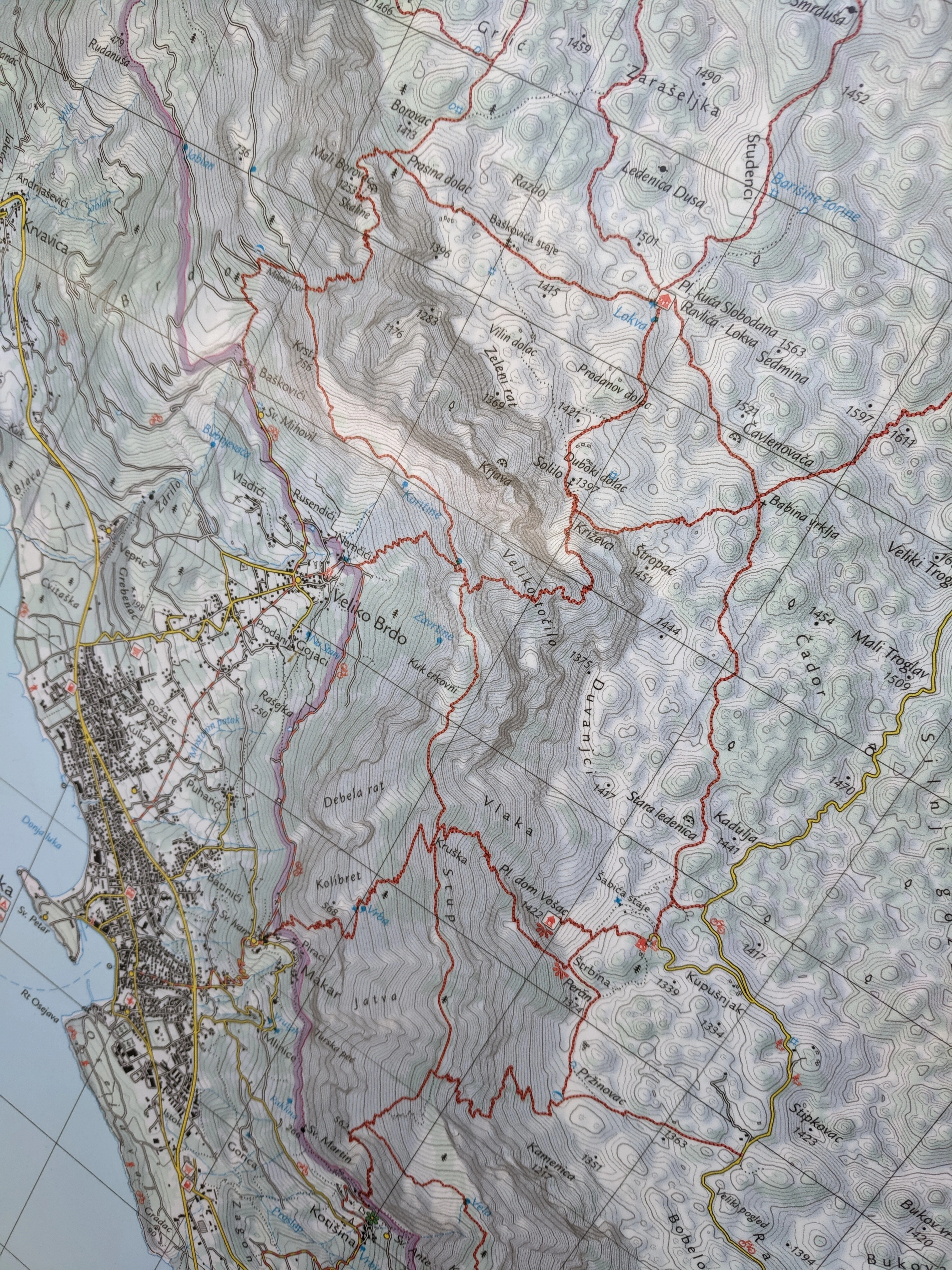
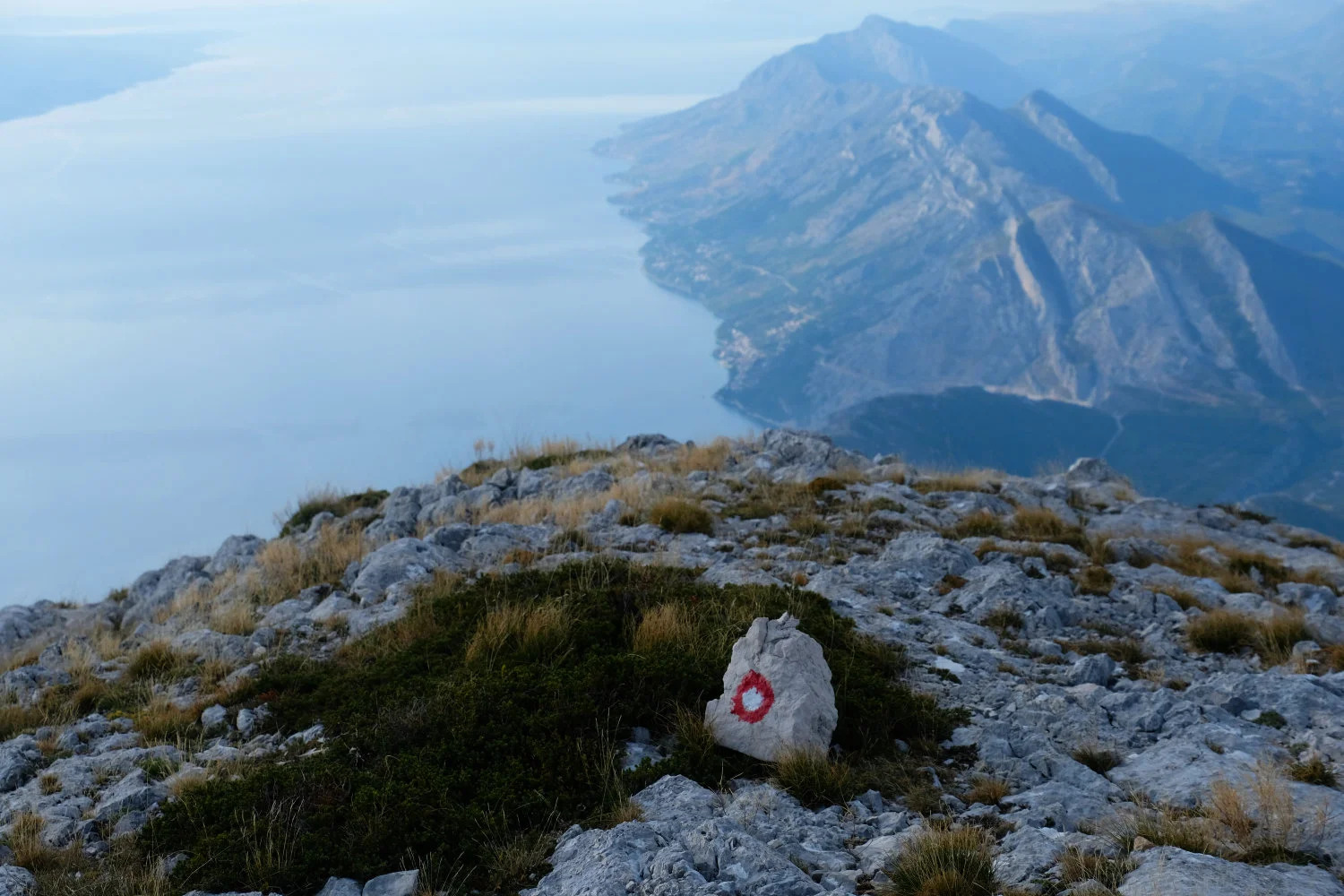
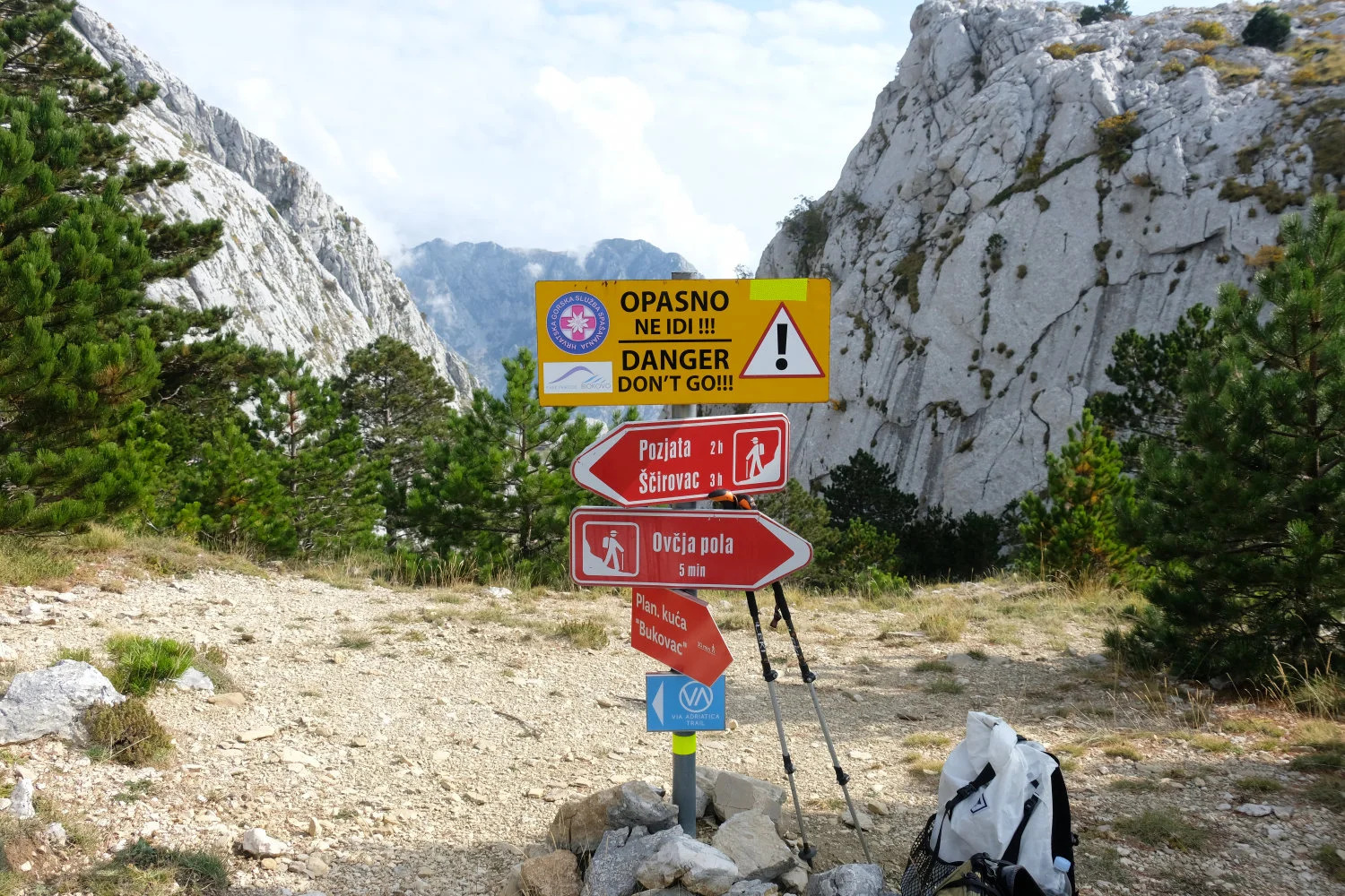
We did use the GPS data from this website as a baseline, but deviated from it intentionally as well as unintentionally. High resolution photos of local maps can be found in the picture section below. They will be very helpful for creating a trail through the mountains.
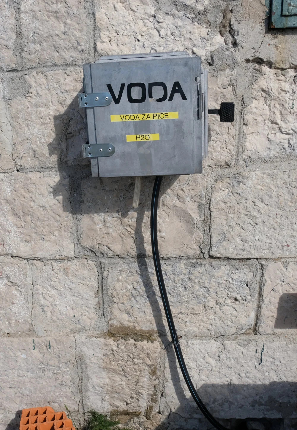
All in all I brought 4 x 1,5 liters for 2 days since I didn’t expect any refill possibilities during that time of the year - and I was right. Also the water refill possibility at Slobodan Ravlić hut was not functioning - the water quality was horrible and we would have only used it, filtered, in a worst-case scenario. Don’t forget to bring your water filter.
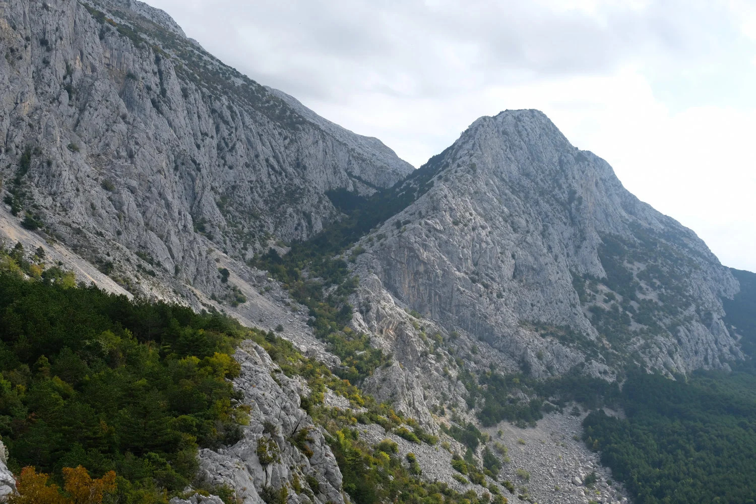
The trail condition in general was ok, but don’t expect completely well prepared paths like you have a lot in the Alps. Some parts contain only red-white markers and you need to find the right path on your own. We had constant mobile connection throughout the complete trail.
Nevertheless, this seems to be a quite lonely trail. We didn’t meet any person during these 2 days. It could also be caused due to off-season (October). But from a weather & heat perspective, October was simply great: not too hot and without rains. Hiking this part during the summer season would have most probably represented a big water resupply challenge.
Conclusion
Great trail! Really worth it with great views and a sense of adventure. I recommend to bring a GPS since on some parts you can get lost, as we did. But generally you just follow the mountain ridge.
Small proposal for the packrafting folks: Hiking the trail from South to North could be interesting since you could get out at the Cetina river and then packraft down until you reach the town of Omis at the sea. I didn’t check the details yet, but Cetina seems to be a nice place for rafting in general.
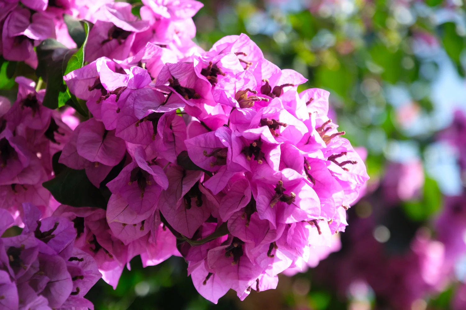
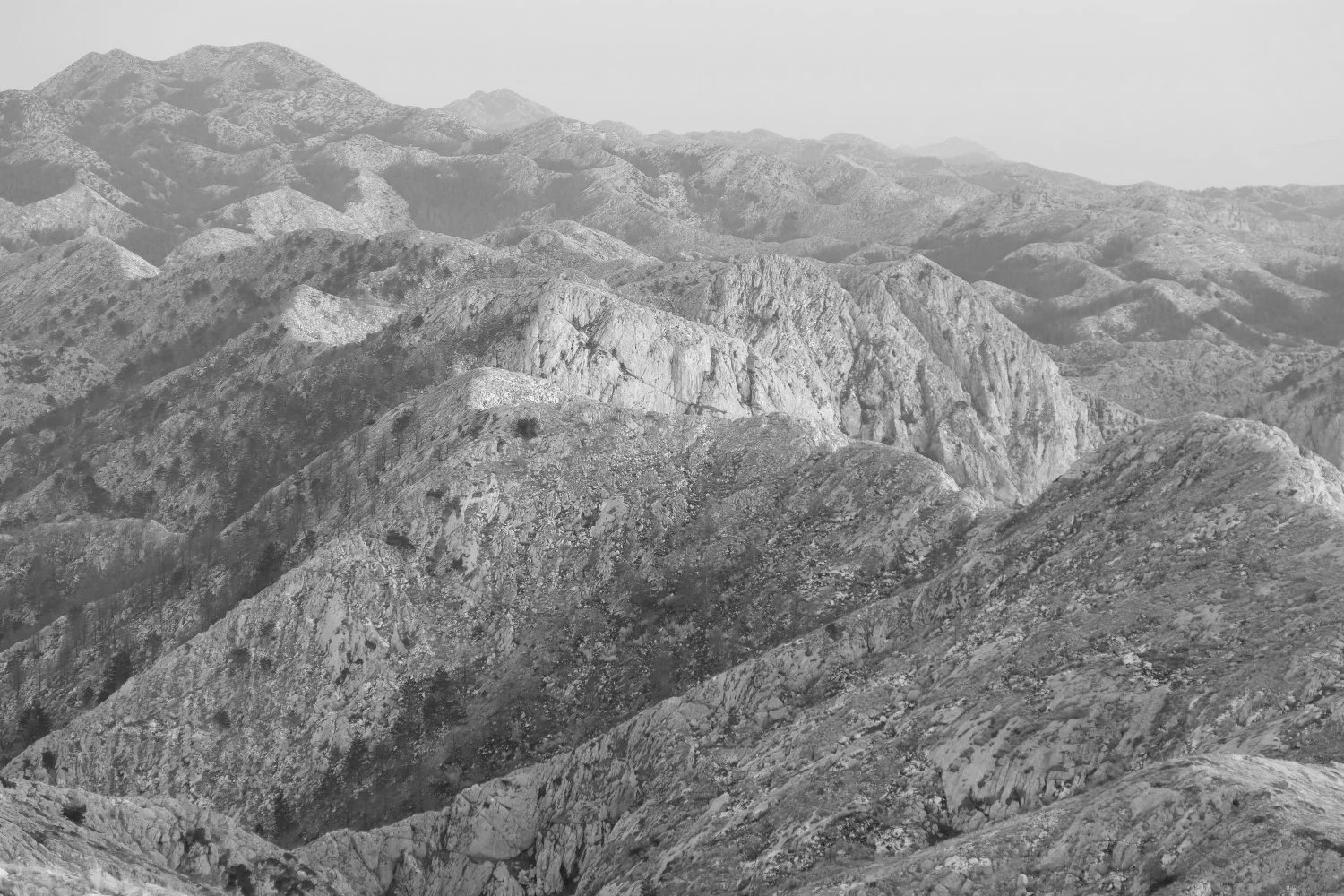
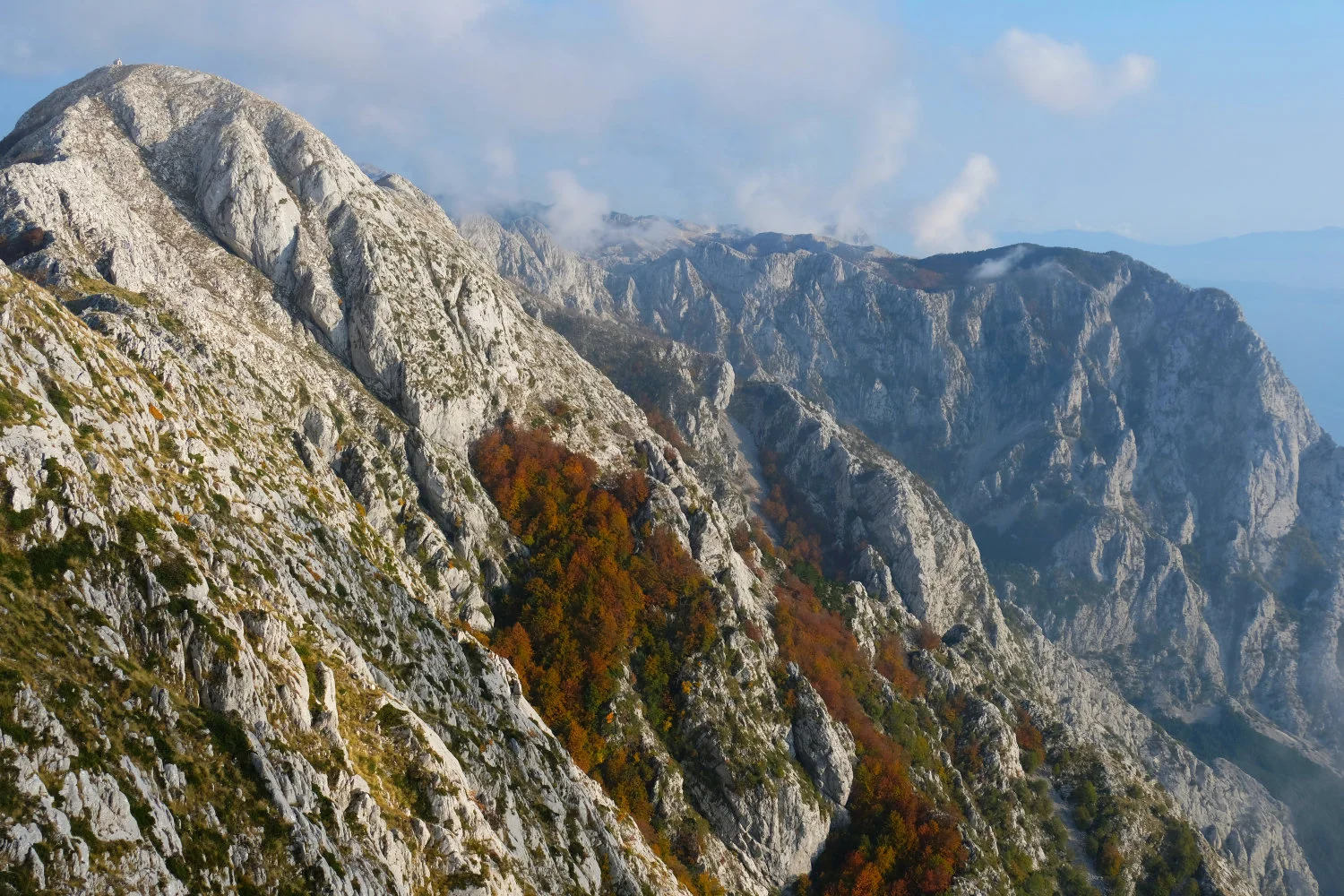
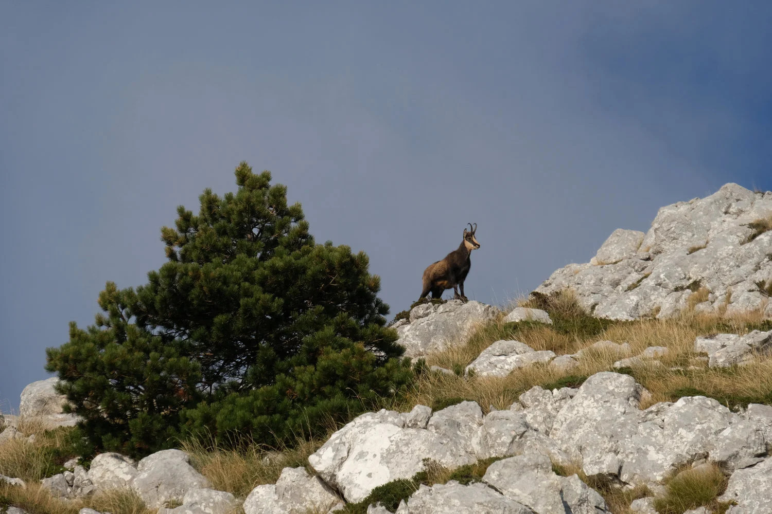
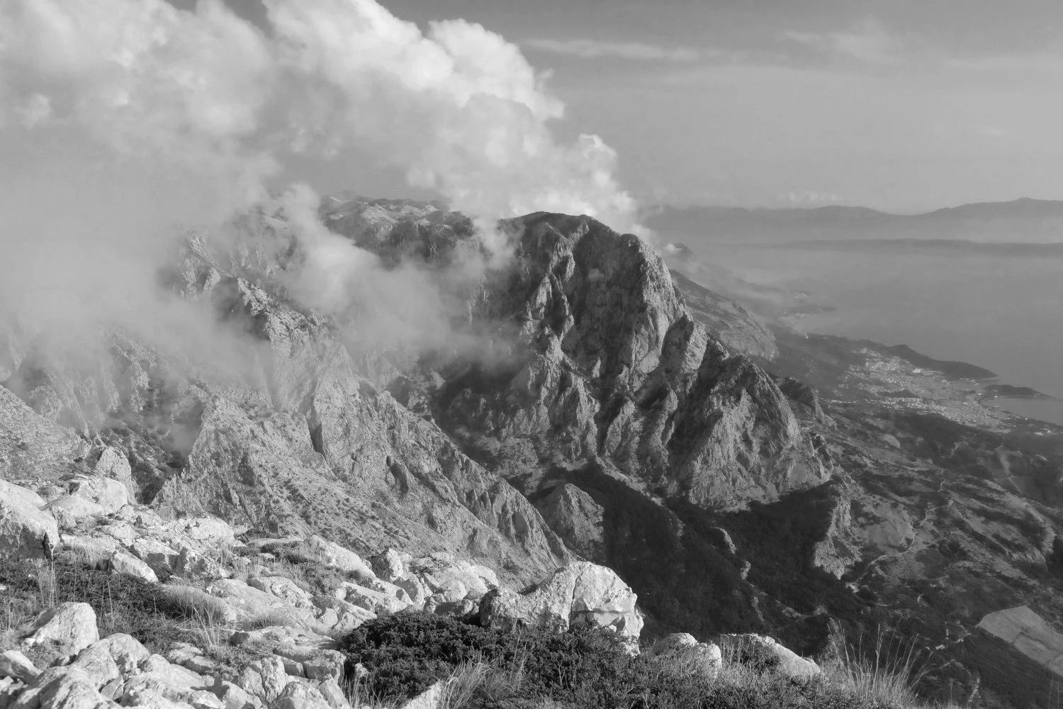
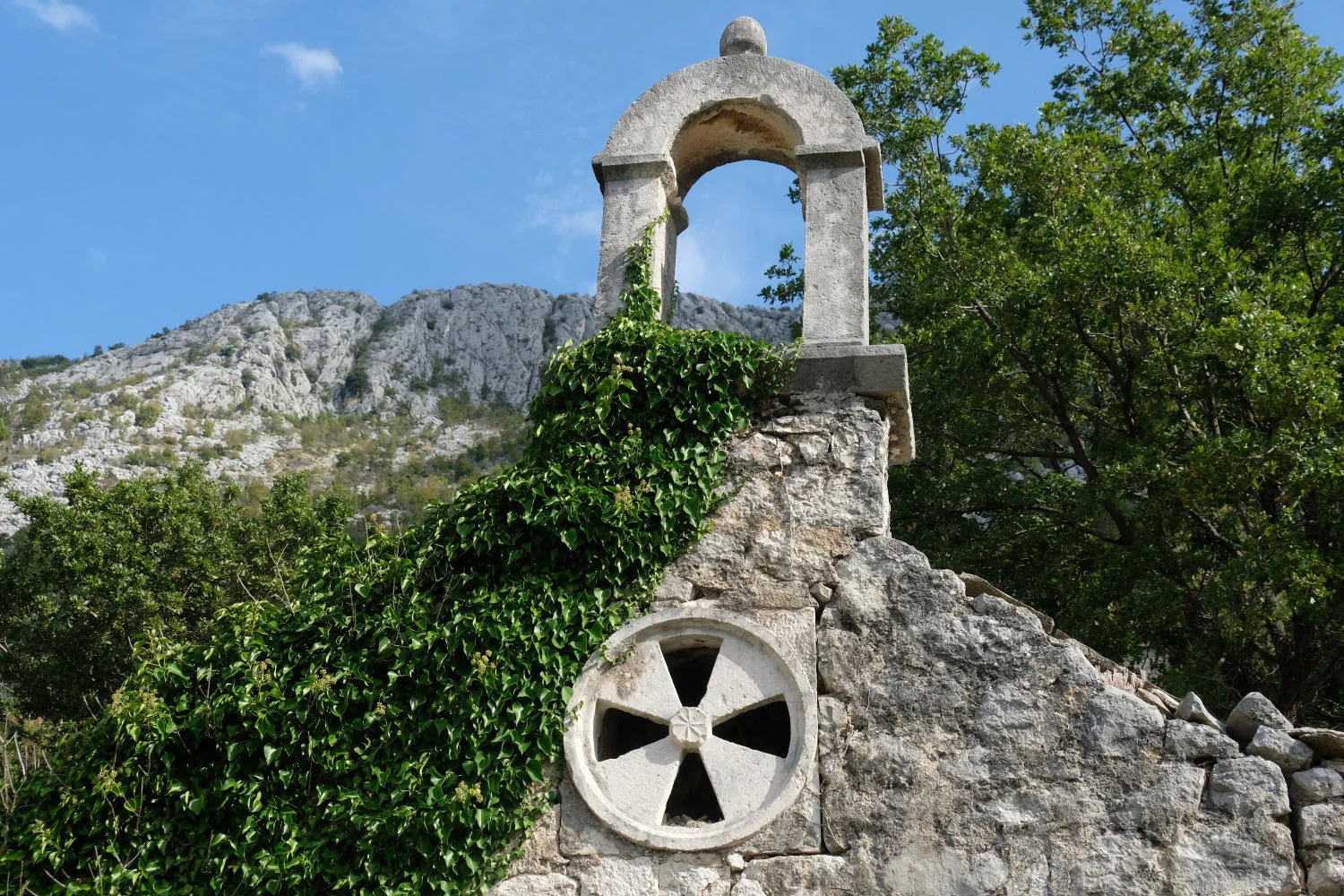
Pictures