Hiking the Paklenica National Park
Two more days we spent in the Paklenica National Park (Croatia), a wonderful and quiet place in October 2019. There are so many nice routes and possibilities for hiking so that you can easily spend days if not weeks in this park.
First of all, we bought an official map at the National Park Office which is located in Starigrad, the town representing the official entrance to the park. The map was useful since gaiagps.com, based on openstreetmap data, were not completely covering all the trails.
Day 1:
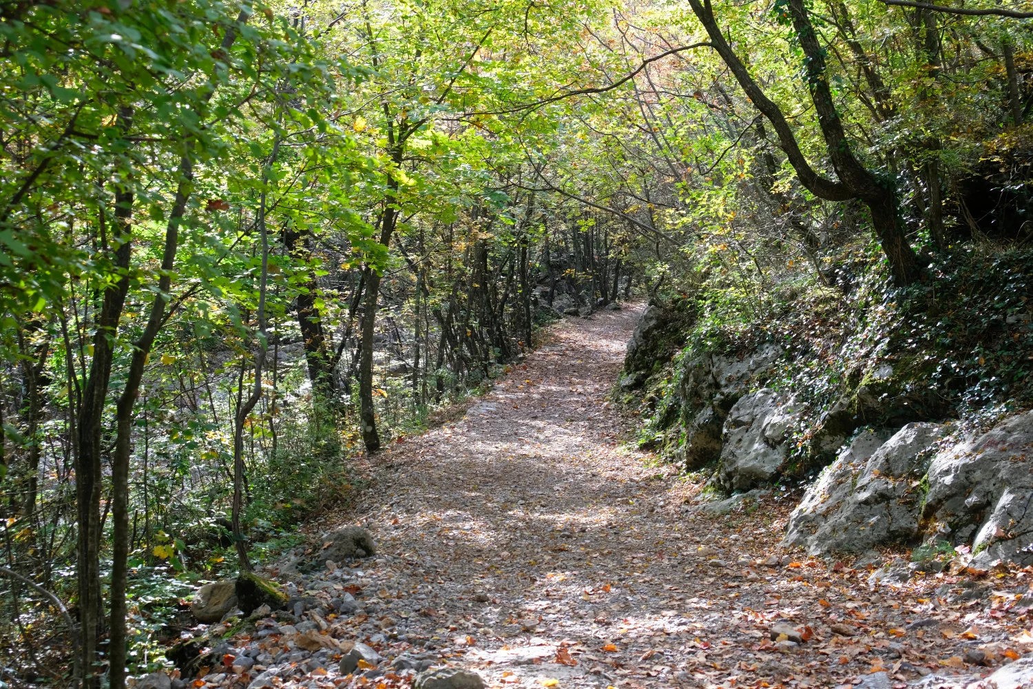
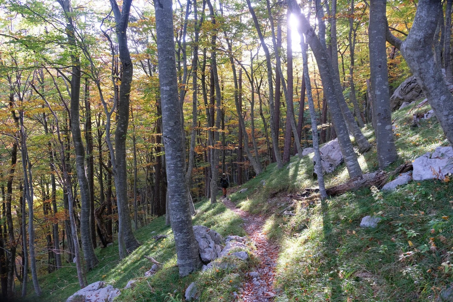
We parked our car at the official entrance in Starigrad, which can get quite crowded during weekends since this park is quite popular for rock climbers. At the entrance, you also have to pay the small entrance fee. Afterwards, we hiked up to the town of Ramici which basically consists only of a few huts. On the way up you already find signs for two different huts in Ramici where you can stay for the night. We payed 10,- Euros / Person for a simple sleeping place on the floor without shower etc.
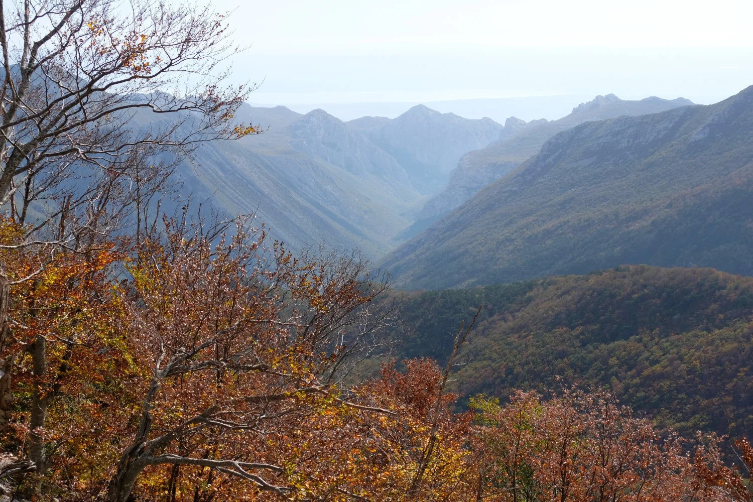
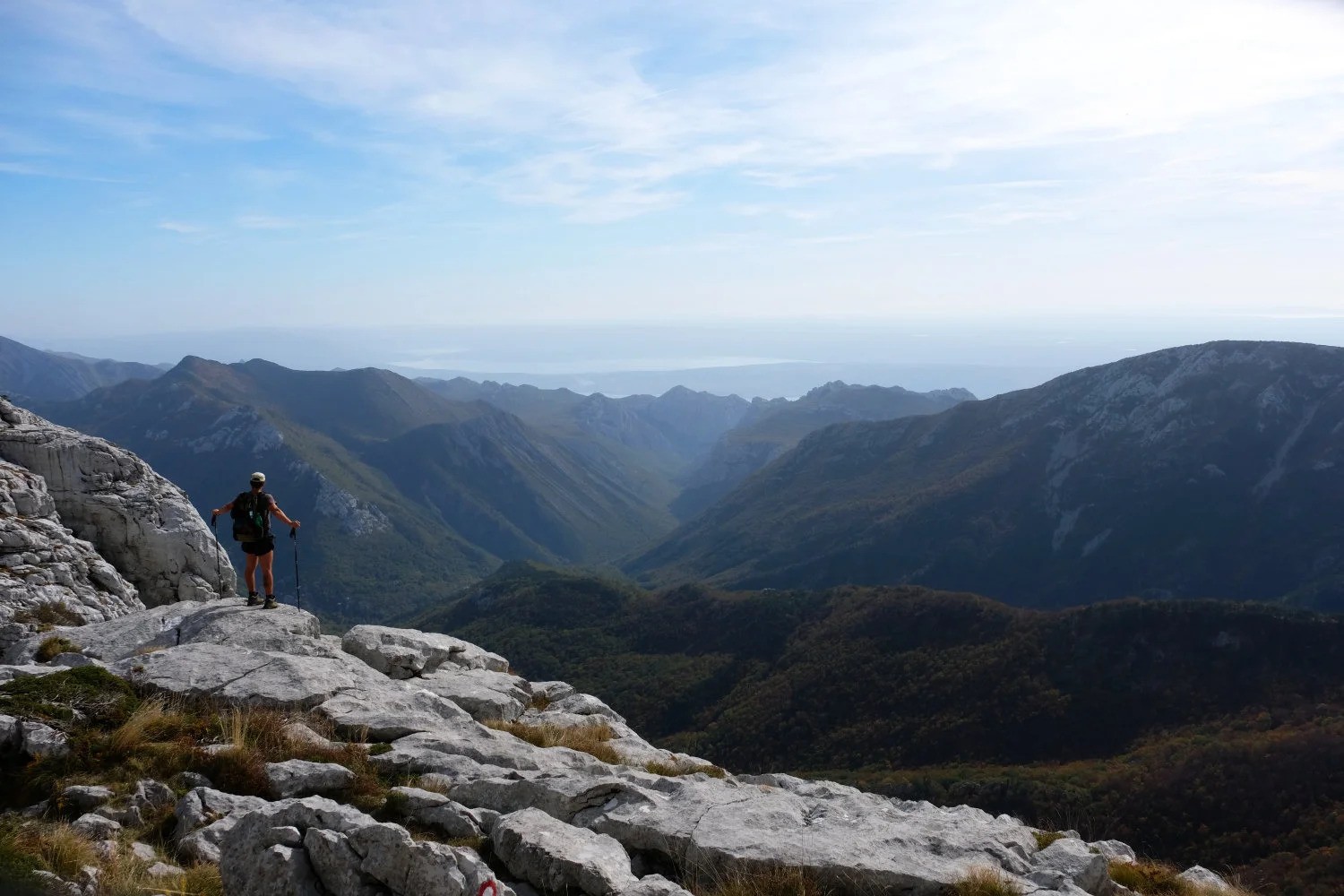
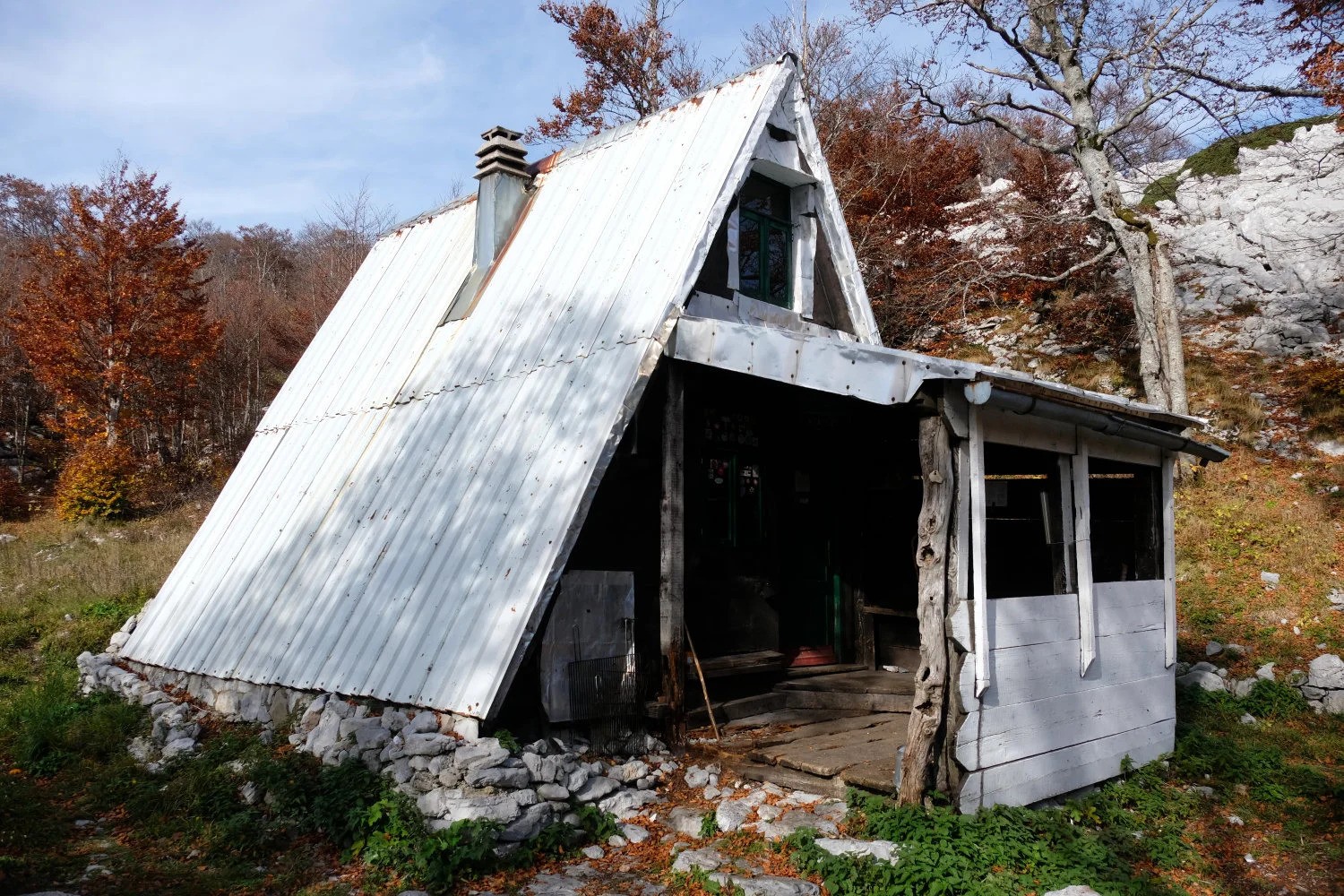
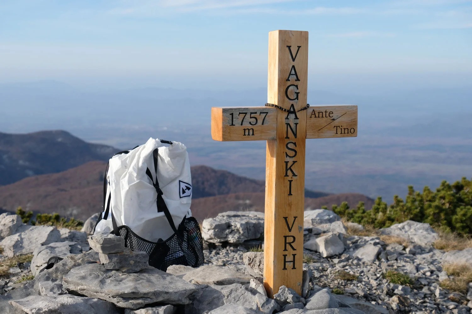
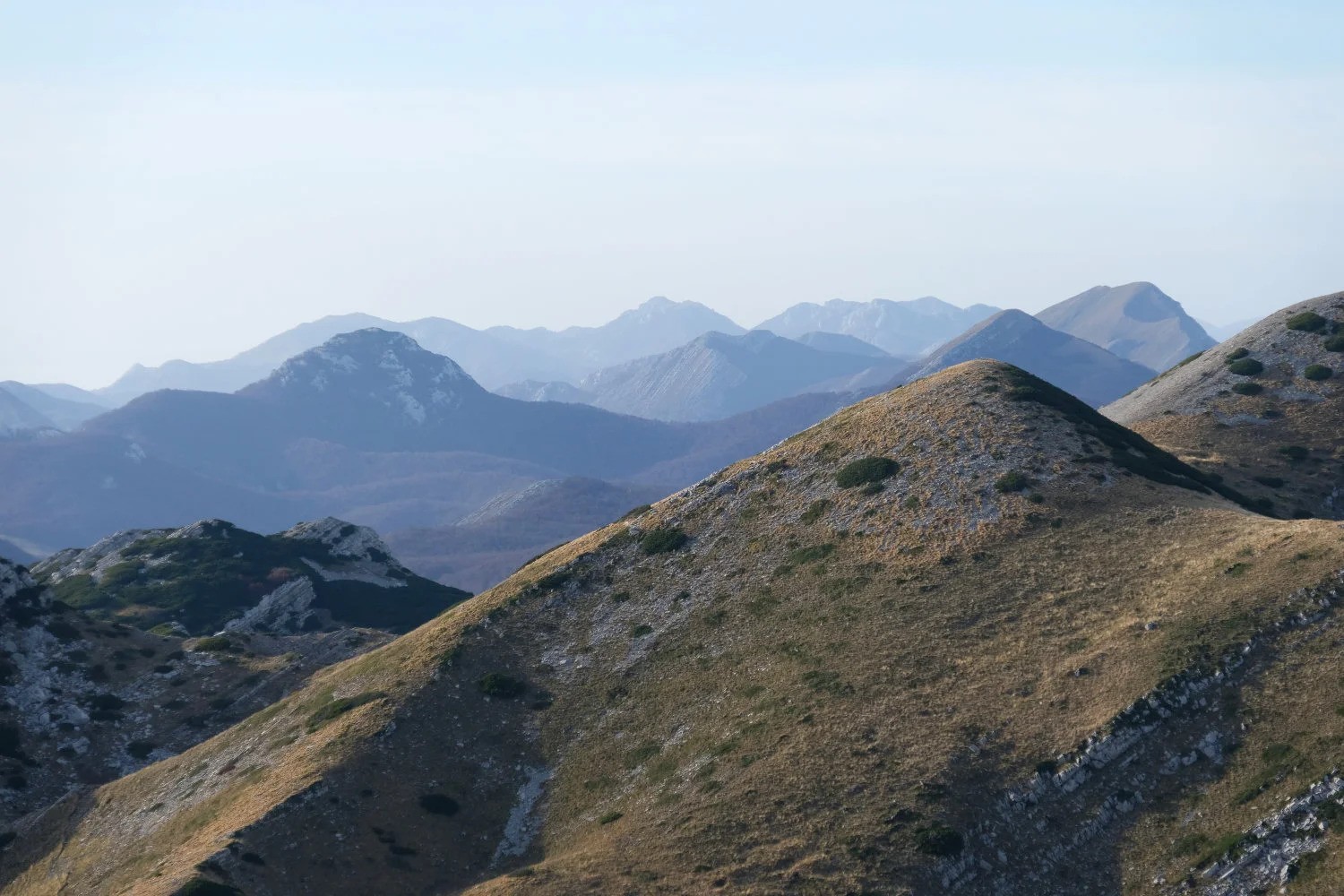
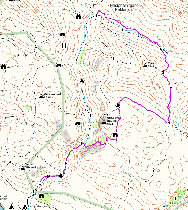
Since we arrived in Ramici quite early, we continued our trail uphill and climbed up to the Struge Hut (GPS: 44.37645, 15.46635), turned right and did a surround of the northern mountains until we returned back to Ramici. The red dot below marks the location of the Struge hut which obviously had some issues with bed bugs - so be careful in case you want to stay there for the night.
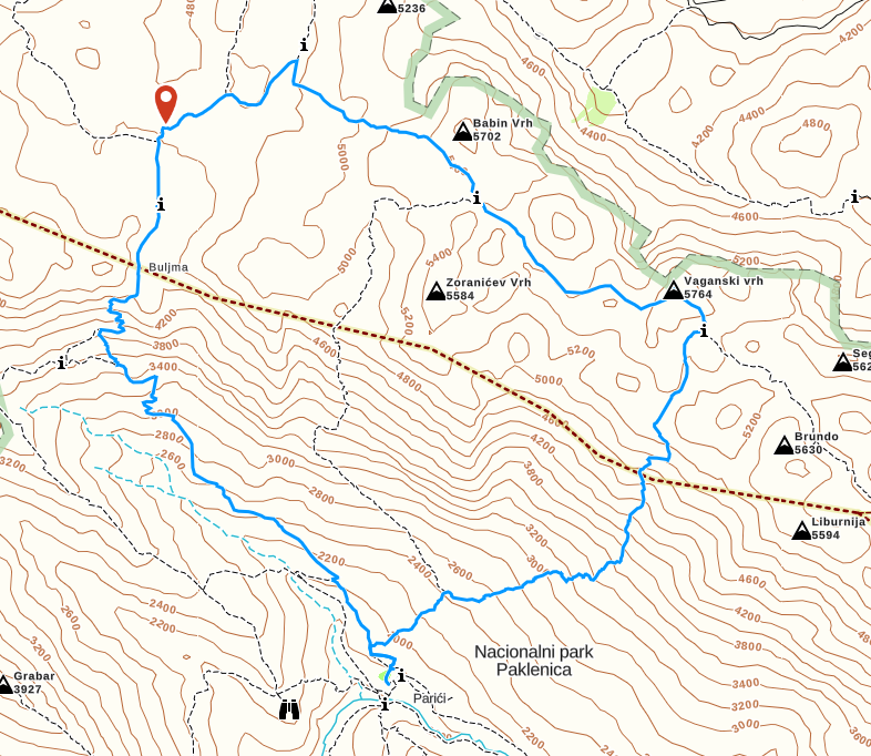
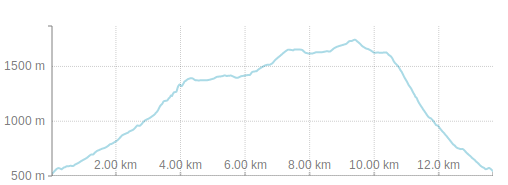
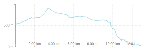
The GPS data can be found in the zip file available for download here. The complete trail, including the walk from the car park, took us 6 hours. The elevation though should not be underestimated, especially during summer time.
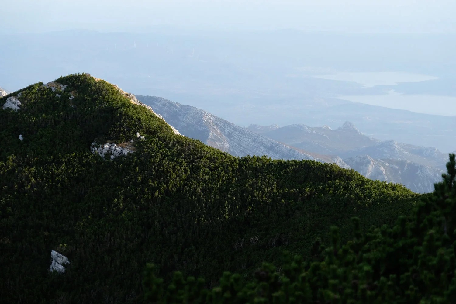
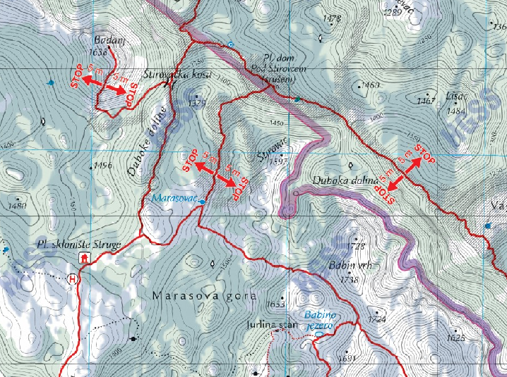
Be aware: If you continue your path further North, you will go on trails leading through an area which could still be polluted by landmines. So you are not allowed to leave the trails further than 5 meters distance, an advise that you should strongly adhere to. See an example of the official maps below but always check the local tourist information for the latest status.
Day 2:
We descended down to the car park but did some extensions which were really worth it. All in all it took us 4-5 hours getting back to the car.
The GPS data can be found in the zip file available for download here.
Online Maps for Preparation: In case you want to do a detailed planning of your trip in Paklenica: On the official website of the Paklenica park, you can find a lot of helpful information, including the link to this awesome map website which provides free online access to detailed maps for most of the Croatia National Parks.
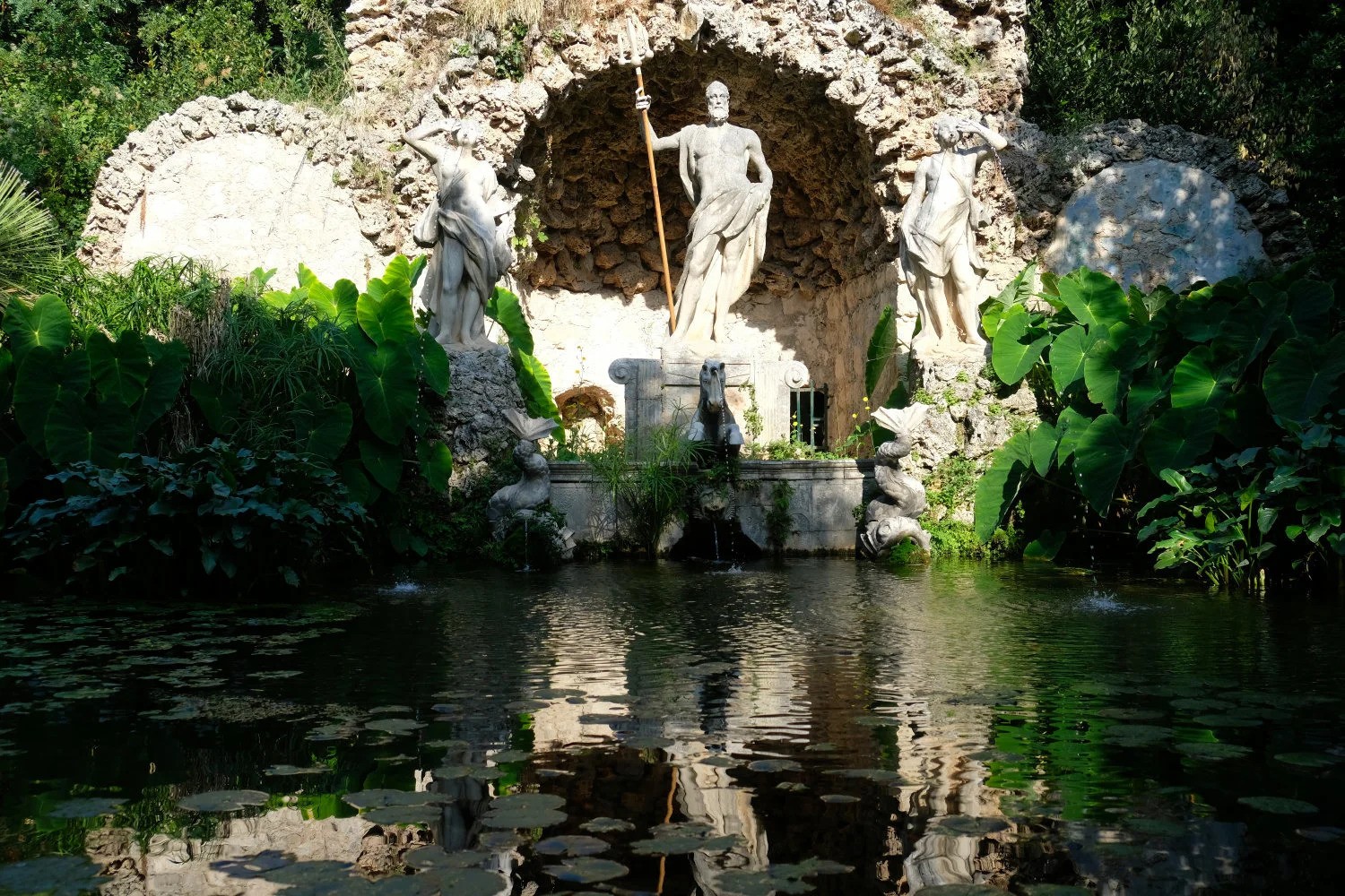
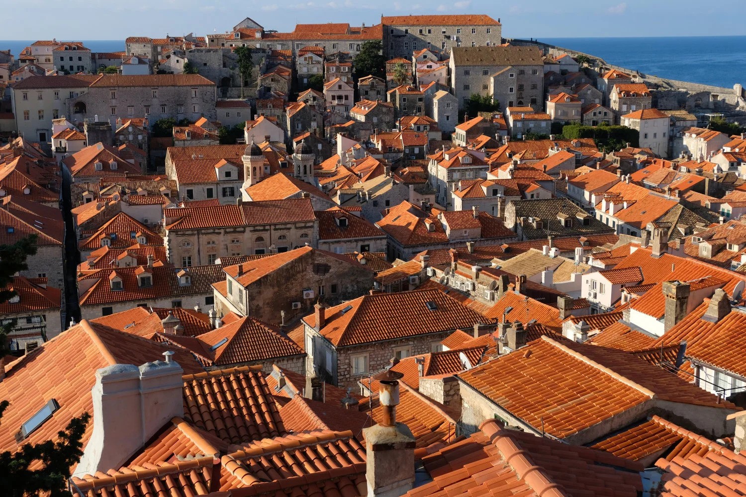
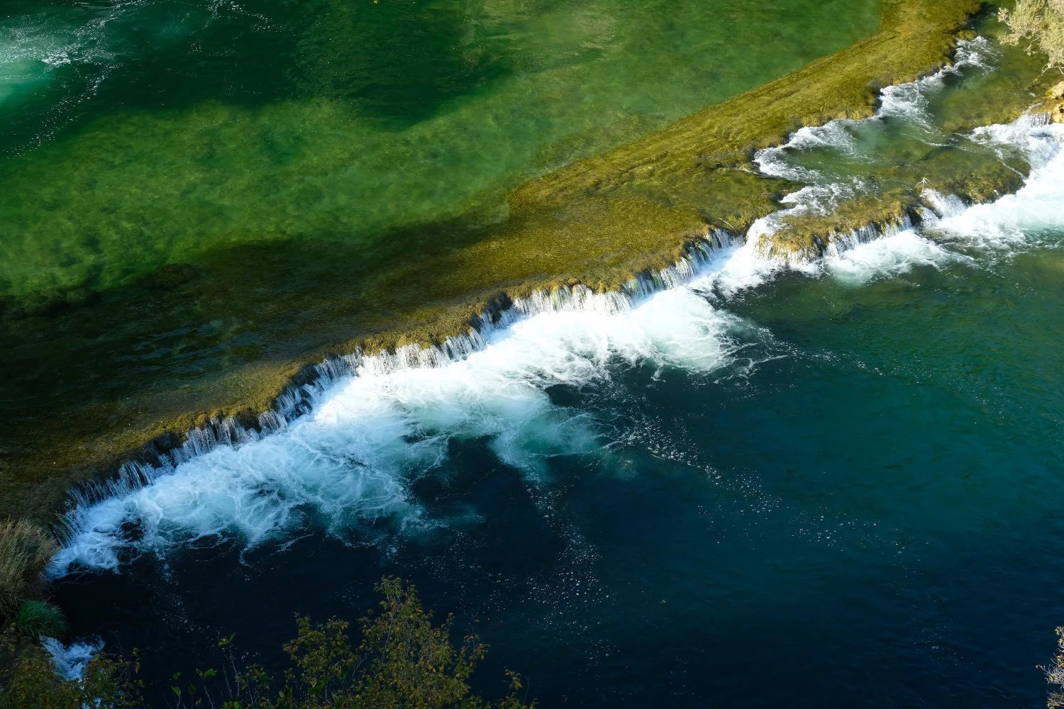
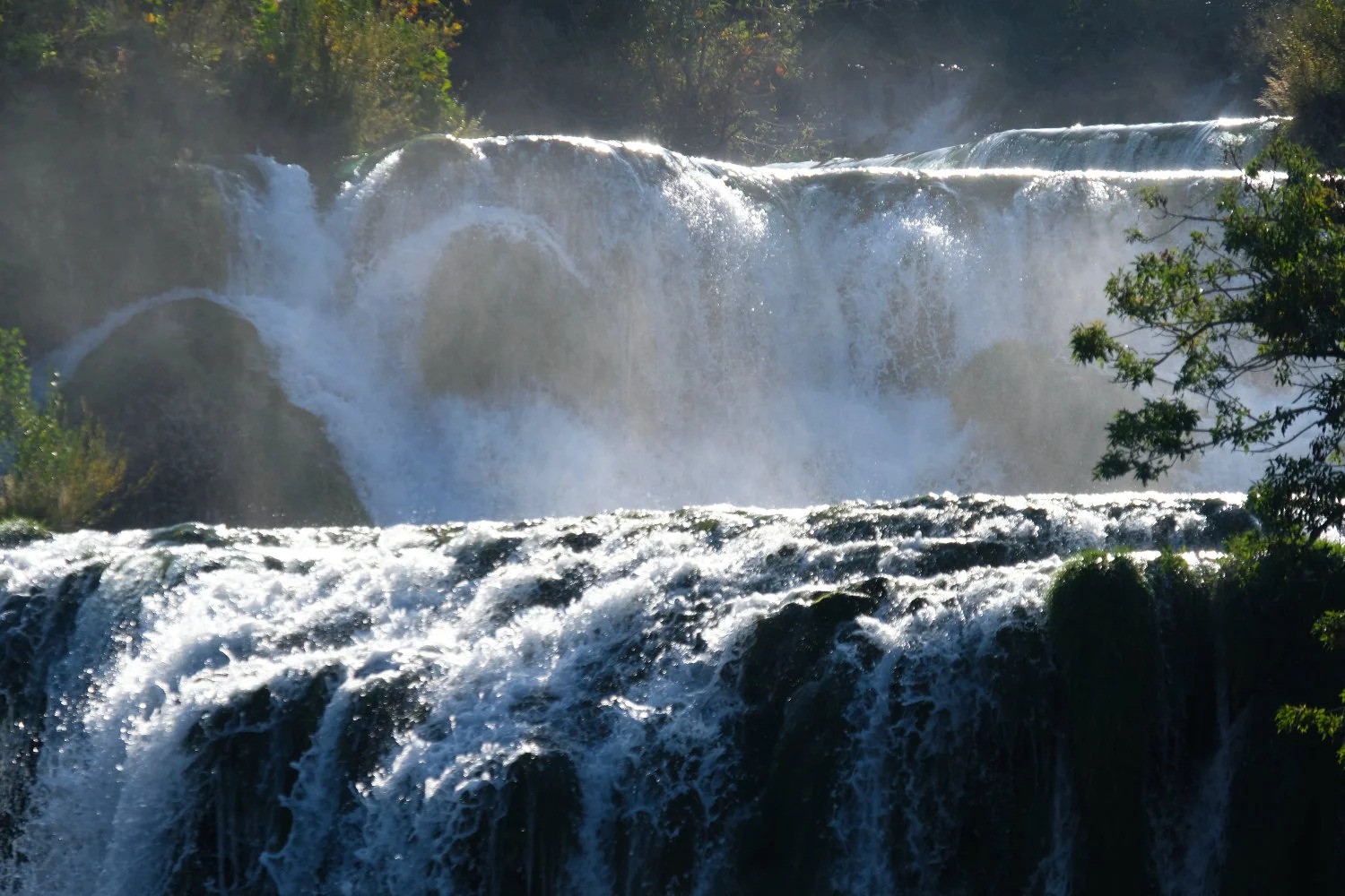
Pictures