The Salkantay Trail (Camino del Inca Salkantay) near Cusco, Peru, is a popular alternative to the overrun Inca Trail (Camino del Inca) both leading up to the ancient ruins of Machu Picchu. Since the Inca Trail is regulated and mostly booked out for several months ahead, people switch to the not yet flooded Salkantay alternative offered by various agencies in Cusco and Peru in general.
Below you will find some information how to do this trip without any agency which will charge you around 200-500 USD for this trip.
Tour Information
We, 2 people, 1 tent, did this trail in May 2016, long before Covid and the global pandemic. So this information should be considered potentially outdated.
The Salkantay Trail is not regulated (meaning you don’t need to register, pay anything, hire an agency etc.) but according to locals, the trail receives an increase of 10% of visitors each year and hence it’s just a question of time until the trail gets regulated. besthikes.com reported roughly 10 years ago (here and here) that this trail was regulated - according to my latest experiences I can’t share this opinion. In case you want to get a first virtual impression of the area, check out this short video by National Geographic
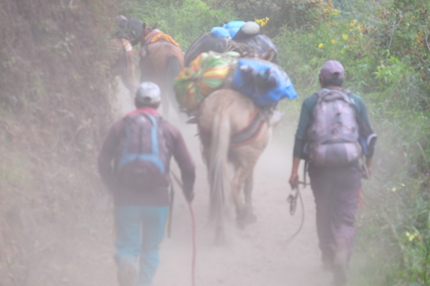
In total, the salkantay trail to Aguas Calientes (base town of Machu Picchu) takes between 4-6 days depending where you start but you can stop earlier (as we did) and take a minibus/taxi if you are running out of time. Depending on the time of the year you are doing the trail, you will not be alone. There are several agencies pushing their clients up the mountain and over the pass with huge amounts of mules carrying all the luggage and people (we saw 30-60 mules each day minimum).
The good news is: You can hardly get lost if the weather conditions are ok since the trail is pretty straight forward. So we met 5 people doing the trail without any GPS/detailed map, but I still wouldn’t recommend it. Better be safe than sorry. Water is not a problem on the whole trail since you are basically following rivers all the time, but I highly recommend to apply a filter due to the huge amount of mules / other animals in the region.
This blog contains a lot of additional details around the track, the different sections, how to handle them the best way etc. - so this is a good starting point to dig deeper if you want to.
In terms of GPS data: I took this data as a baseline but in the end we were doing some parts differently.
Starting Point: I recommend NOT to start from Mollepata but from Marqoqasa since the walk is much more beautiful and offers already greate views on the landscape since you start higher. Stay in Soraypampa (-13.386859, -72.573897) the night and don’t get higher up if you are not properly acclimated - if you want to camp on the campgrounds of the agencies, you need to pay a small fee (5-10 Soles) but there is no need to do this.
Try to prevent staying in Chaullay (-13.32506, -72.66510) in case you want to omit the larger agency groups - instead continue further to Collipapampa (-13.31863 -72.66952). From there, take the path on the left side of the Rio Santa Teresa - it’s an amazing walk also offering some more quiet possibilities to camp (-13.29669 -72.64939) From La Playa you can either continue further walking or take a minibus towards Aguas Calientes
Difficulties & Challenges
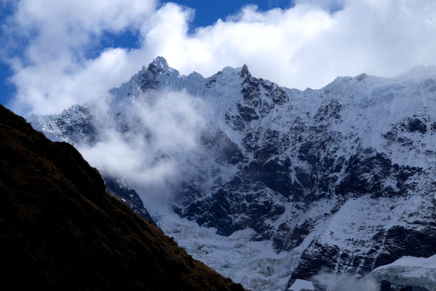
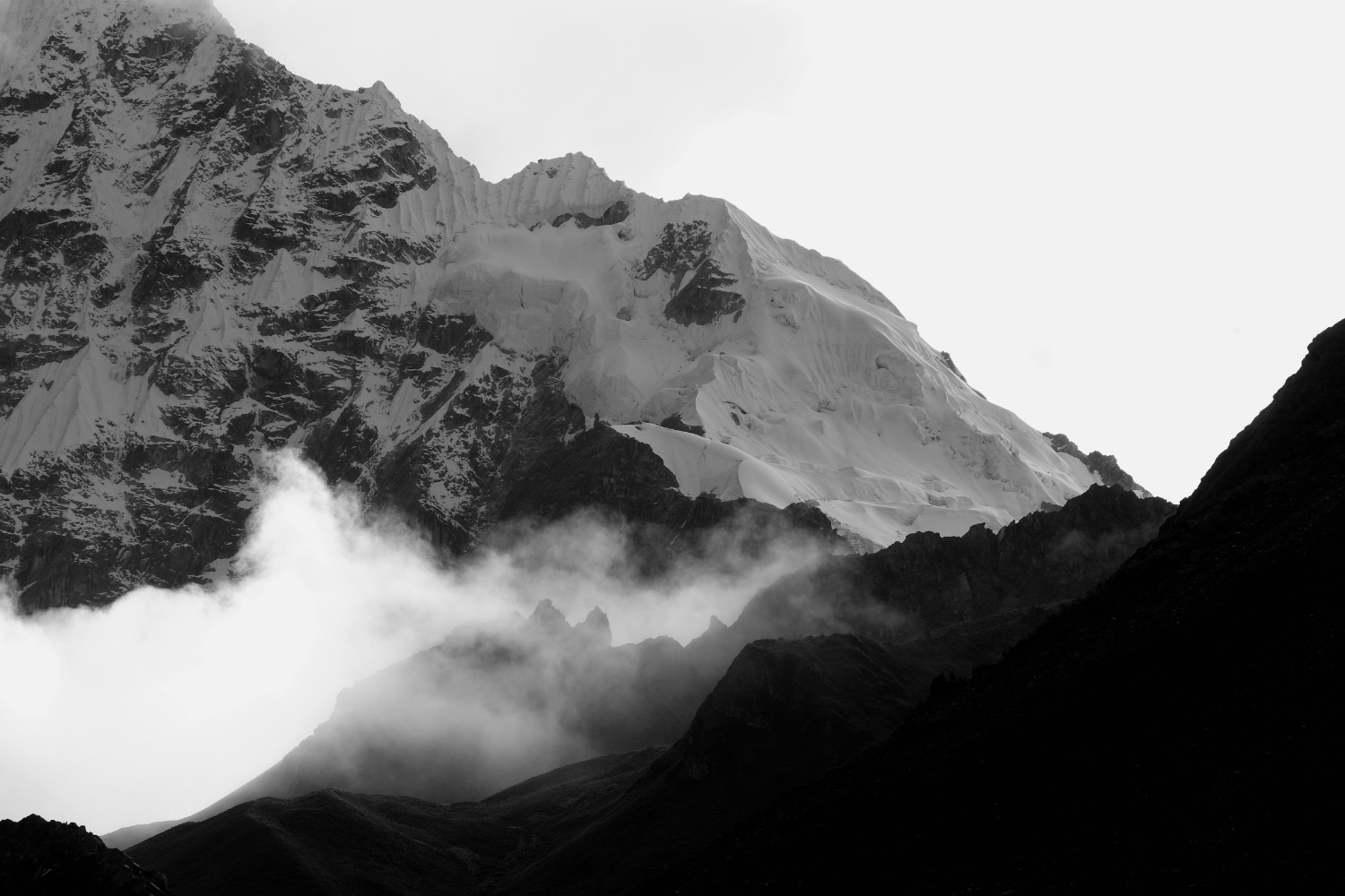
Don’t underestimate the height (highest point 4600m) - we saw some people without GPS suffering from heavy acute mountain sickness (AMS) since they didn’t do proper planning beforehand and were sleeping to high. Additionally, it can get chilly at night. We had around 0 degrees (C) on 4000m which was not that bad (May 2016) but weather can change quickly up there. Try to plan your sleeping camps as low as possible - consider lower performance the higher you get.
Tour Alternatives & Ideas
The Rio Santa Teresa could be an interesting river for doing some whitewater packrafting - obviously folks have done it already with kayaks - but further research needs to be done.
Rio Vilcanota / Urubamba would also be a nice destination for a multiday hike/raft adventure. With some more research, I’m pretty sure a great combination could be worked out for 1 week or even more crossing some mountain paths first and then get into the water after 1 week or so. Good starting point could be here and here – information is more than 20 years old so lot’s of things must have been changed.
#Getting There & Away:
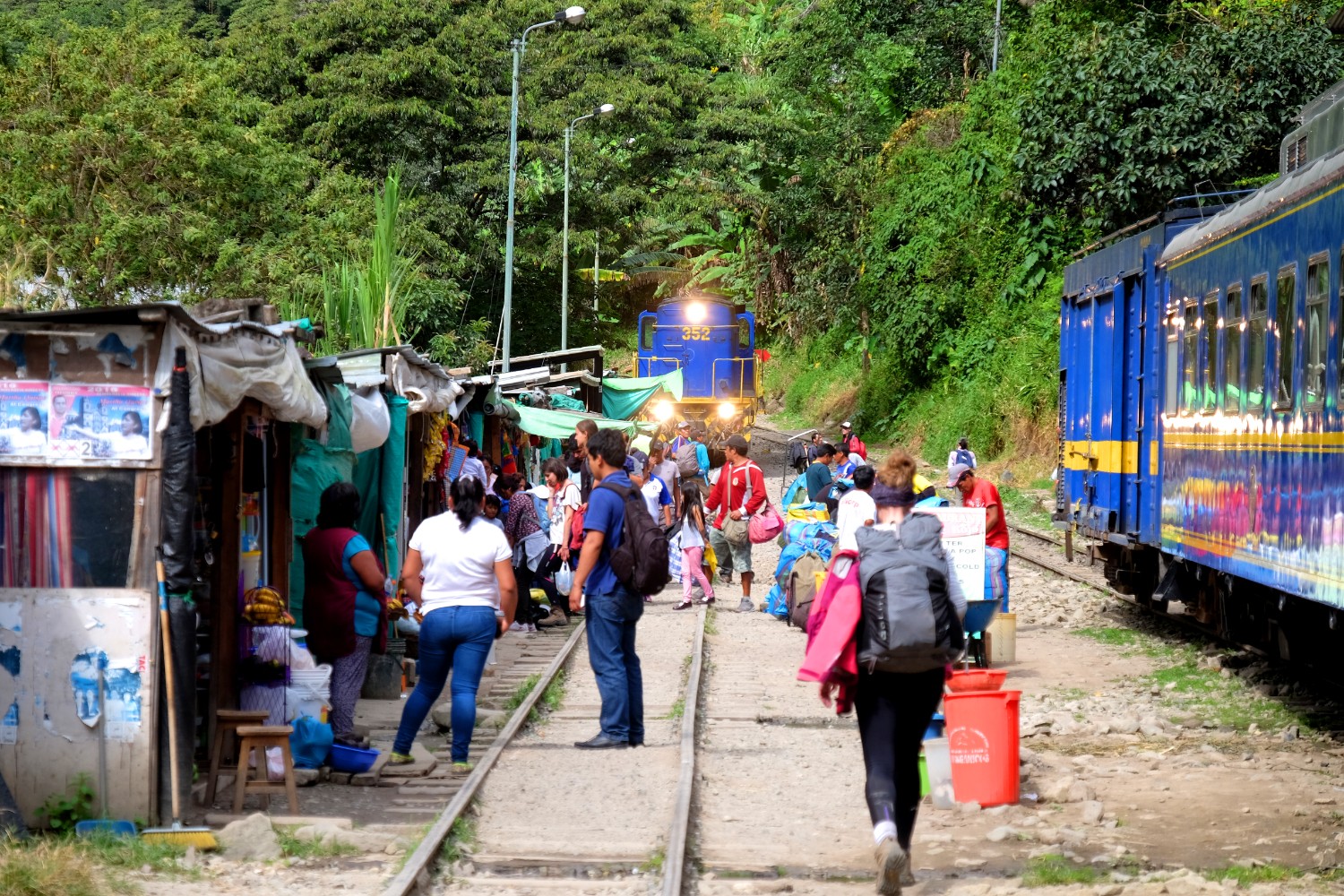
From Cusco, you can take a minibus to Mollepata which takes around 2-3 hours and costs 7 Soles / person (May 2016) - minibuses run from this point in Cusco from 4am on (-13.51623 -71.98723). A rather pricy alternative: Our hotel offered us a taxi ride via an agency for 180 Soles (2 persons). Ask the minibus driver to drop you at Marqoqasa (-13.47794 -72.55483) for some extra money (30 min ride - we payed 10 Soles more - definitively worth it). After the trip you can take the touristic transport offerings from Aguas Calientes back to Cusco or other destinations.
Pictures